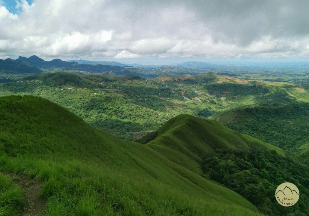
Hiking in Cerro Macano - La Silla
Walk the Macano - La Silla Caldera Route in the Anton Valley
Descripción
FACTS ABOUT THE MACANO-LA SILLA ROUTE:
- Distance: 9.4 km
- Tour duration: 5-7 hrs
- Attractions: Views, patches of forest, rivers, communities
- Activities: hiking, trail running
- Difficulty Level: Hard
- Activity combines some easy sections with others that require more physical effort. It applies to long walks on uneven terrain (river crossing, rocks, uneven terrain, slippery ground).
- Cell Signal: There is cell signal mainly in the Cerro La Silla area.
This section of the Caldera Route passes through two communities of Chichivali and El Macano. On the trail you will cross orchards, patches of forests, rivers and streams. Most rivers and streams do not have bridges. Be very careful with floods. Please avoid crossing rivers when it is raining
As you pass through the communities located in the mountains surrounding the Anton Valley, be kind and respectful to community members and their grounds.
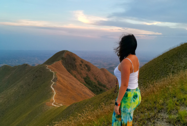
It is important to note that the summits of Cerro La Silla are private property, but the trail that borders both hills is a public easement with free access for all. All this ridge offers spectacular views of El Valle and the Pacific coast.
prices
Free admission.
RISKS AND CAUTION
- In the dry season (December-March) there are strong winds in the area of the summit and on the edge in areas without trees.
- If it rains the trail is slippery and the rivers can rise. The rainy season is during April-November, but it can still rain at any time of the year.
- Sometimes there is lightning in the area of the summit and by the edge in areas without trees.
- There are several segments near cliffs without railings, please stay in the center of the trail.
- Fires – please do not light campfires.
Find out all the trails of La Ruta de La Caldera here.


